미리보기
미리보기
 공유하기
공유하기 공유하기
공유하기
 상세 정보
상세 정보 Guide
Guide

 다운로드
다운로드
 유사 작품
유사 작품 X-레이
X-레이 슬라이드 쇼
 통계 정보
통계 정보Image of the Pilgrimage of St Paul

 더 보기
더 보기
지클레 / 아트 프린트
빠른 제작과 다양한 마감 옵션을 제공하는 박물관 품질의 지클레이 또는 캔버스 프린트. ( 손으로 그린 그림 구매 디지털 이미지로 전환)
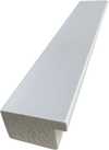
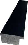
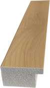
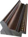
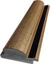
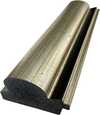
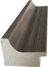
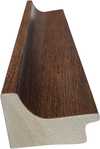
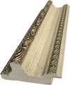
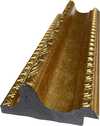
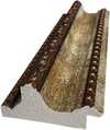
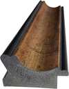
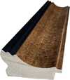
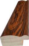
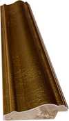
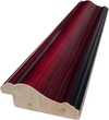
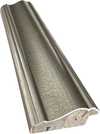
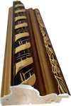
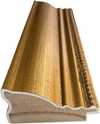
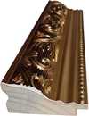
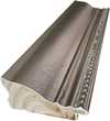
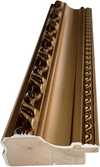
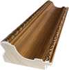
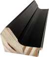
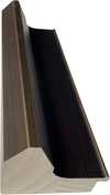
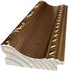
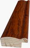
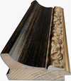
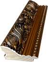
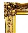
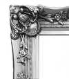
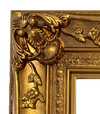

작품의 원본 비율을 유지하는 미리 설정된 크기 중에서 선택하세요.

특정 프레임이나 공간에 맞춰 직접 치수를 입력하실 수 있습니다. 선택하신 사이즈가 원본 이미지의 비율과 일치하지 않을 경우, 작품을 크롭(자르기)하거나 이미지를 대칭 또는 단색 채우기로 확장하여 제작합니다. 제작 시작 전, 최종 확인을 위해 디지털 목업이 전송됩니다.
화면상의 미리보기는 실제 크롭이나 확장 상태를 반영하지 않으므로, 최종 구도는 오직 목업을 통해서만 정확하게 확인하실 수 있습니다.
맞춤 사이즈 제작도 가능하지만, 원본 비율을 유지하기 위해서는 사전 정의된 목록에서 치수를 선택하시는 것을 권장합니다.


 유리 옵션은 110cm 미만 크기에서만 선택 가능합니다.

Image of the Pilgrimage of St Paul
지클레 / 아트 프린트
복제본 크기
-


최종 결제 금액
$ 61
유사한 작품들


작가 약력
Abraham Ortelius: Pioneer of Modern Cartography
Abraham Ortelius (1527-1598) stands as a monumental figure in the history of mapmaking and scientific exploration, largely unrecognized until recent decades. Born in Antwerp, Belgium—a vibrant hub of Renaissance scholarship and artistic innovation—Ortelius’s life was marked by intellectual curiosity and unwavering dedication to advancing geographical knowledge. Trained initially as an engraver, he swiftly transitioned into publishing, establishing a workshop that would become synonymous with the production of groundbreaking atlases and meticulously crafted maps. His ambition wasn't merely decorative; it was driven by a profound belief in the power of accurate representation to illuminate understanding of the world.- Early Life & Training: Ortelius’s formative years were steeped in humanist ideals, fostering an appreciation for classical learning and observation. He honed his engraving skills under Rubens, absorbing techniques that would prove invaluable in reproducing his maps with exceptional detail.
- Theatrum Orbis Terrarum (1570): Ortelius's magnum opus, *Theatrum Orbis Terrarum*, represents a pivotal moment in cartographic history. Published during the tumultuous Reformation era, it was the first atlas to employ copperplate engraving on a grand scale—a revolutionary method that allowed for unprecedented precision and artistic beauty. It meticulously charted Europe, Asia, Africa, and the Americas, incorporating Ptolemy’s geocentric model alongside observations from explorers like Magellan and Drake.
- Influence & Collaborations: Ortelius didn't operate in isolation; he actively engaged with fellow scholars and artists. Notably, his collaboration with Ludovico Teixeira—a Portuguese cartographer—resulted in the creation of a comprehensive atlas of Brazil, significantly bolstering Portugal’s maritime empire and establishing a benchmark for future Brazilian mapping endeavors.
- Legacy & Significance: Ortelius's impact extends far beyond the production of atlases. His meticulous research into ancient texts and his insistence on incorporating new scientific data fundamentally reshaped how Europeans perceived their surroundings. *Theatrum Orbis Terrarum* served as a cornerstone for subsequent generations of cartographers, influencing exploration, navigation, and ultimately contributing to the dissemination of knowledge about the globe.
A Detailed Examination of Ortelius’s Cartographic Technique
Ortelius's maps weren’t simply copied from existing sources; they were painstakingly reconstructed using a combination of Ptolemaic calculations, astronomical observations, and firsthand accounts from explorers. The engravers employed by Ortelius utilized techniques perfected during the Renaissance—particularly hatching and cross-hatching—to convey tonal variations in terrain elevation with remarkable accuracy. Color printing was also experimented with, albeit sparingly, adding visual richness to certain sections of the atlas. These innovations underscored Ortelius’s commitment to presenting a scientifically informed depiction of the Earth.Notable Works Beyond Theatrum Orbis Terrarum
While *Theatrum Orbis Terrarum* cemented Ortelius's reputation as a visionary, he produced numerous other maps and atlases that showcased his exceptional skill and dedication to geographical accuracy. These included detailed charts of the Mediterranean Sea, explorations of Scandinavia, and depictions of Persia—reflecting Ortelius’s broad interests in maritime navigation and scholarly pursuits. His meticulous attention to detail ensured that these works remained invaluable resources for navigators and scholars alike.Ortelius's Portrait by Rubens: A Reflection of Renaissance Idealism
Sir Peter Paul Rubens commissioned a portrait of Abraham Ortelius, capturing him amidst his workshop—a scene replete with maps, instruments, and scholarly texts. The painting exemplifies the humanist ideals prevalent during the Renaissance, portraying Ortelius as an intellectual figure engaged in serious contemplation. Rubens skillfully rendered Ortelius’s face with subtle shading and anatomical precision, reflecting the artistic standards of the era and solidifying Ortelius's place within the cultural landscape of Antwerp.
Abraham Ortelius
1527 - 1598 , Belgium
주요 정보
- Artistic Movement Or Style: Renaissance cartography
- Artists Or Movements Influenced By This Artist: ['Cartography']
- Artists Who Influenced This Artist: ['Johannes Mercator']
- Date Of Birth: 1527 Antwerp, Belgium
- Date Of Death: 1598
- Full Name: Abraham Ortelius
- Nationality: Flemish
- Notable Artworks: ['Theatrum Orbis Terrarum']
- Place Of Birth: Antwerp